Master Drone Surveying
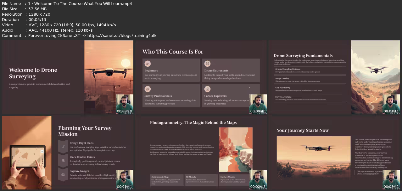
MP4 | Video: h264, 1280x720 | Audio: AAC, 44.1 KHz
Language: English | Size: 1.64 GB | Duration: 2h 24m
Learn Drone Surveying, Orthomosaic Mapping, 3D Terrain Models, GIS Integration & Professional Aerial Mapping Workflows
What you'll learn
Understand the fundamentals of drone surveying, mapping, and aerial data collection.
Plan and execute professional drone survey missions with proper flight settings and safety checks.
Process drone images to create orthomosaic maps, 3D models, point clouds, and terrain models.
Measure distances, areas, and stockpile volumes using drone mapping data.
Use drone survey outputs with GIS and CAD software for engineering and analysis.
Apply drone surveying in construction, mining, agriculture, and environmental monitoring.
Requirements
No prior drone surveying experience required — beginners are welcome.
Basic understanding of drones is helpful but not necessary.
A computer or laptop to follow mapping and data processing concepts.
Interest in drones, mapping, surveying, or geospatial technologies.
Optional: Access to a drone for practicing concepts in real-world scenarios.
Description
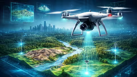
Drone technology is rapidly transforming industries across the world. From construction and mining to agriculture and infrastructure planning, drones are now being used to collect accurate aerial data, create detailed maps, and analyze terrain faster than ever before.Drone surveying has become one of the most powerful and in-demand technologies in the modern geospatial and engineering world.If you want to understand how professional drone surveys are conducted and how aerial images are converted into accurate maps and 3D models, this course will guide you step-by-step.Welcome to the Drone Surveying Masterclass, a comprehensive course designed to help you understand drone mapping, photogrammetry, aerial data processing, and real-world industry applications.This course is designed in a clear, beginner-friendly format, while also covering the professional concepts used in real drone surveying projects.Even if you have no prior experience in drone surveying, this course will help you build a strong understanding of the entire workflow — from planning a drone survey mission to generating maps, terrain models, and 3D reconstructions.Why Drone Surveying is So Important TodayTraditional surveying methods often require large teams, expensive equipment, and long hours in the field.Drone surveying has revolutionized this process by allowing professionals to capture high-resolution aerial data quickly, safely, and efficiently.Using drones and photogrammetry software, it is now possible to generate:Orthomosaic maps3D terrain modelsDigital surface modelsDigital terrain modelsPoint cloudsAccurate distance, area, and volume measurementsThese outputs are widely used by engineers, construction companies, mining operations, agricultural specialists, and environmental researchers.As industries increasingly adopt drone technology, professionals who understand drone surveying and aerial mapping workflows are becoming highly valuable.What You Will Learn in This CourseThis course takes you through the complete drone surveying workflow, explaining each stage of the process in detail.You will start by learning the fundamentals of drone surveying, including how drones collect mapping data and how they compare to traditional surveying methods.From there, you will explore important technical concepts such as:Ground Sampling Distance (GSD)Image overlap and resolutionGPS and coordinate systemsGround Control Points (GCPs)RTK and PPK positioning technologiesYou will also learn how to plan professional drone survey missions, including how to create automated flight plans using mapping applications.The course then dives into the core technology behind drone mapping — photogrammetry.You will learn how aerial images are processed into powerful mapping outputs such as:Orthomosaic maps3D terrain modelsPoint cloudsDigital surface models (DSM)Digital terrain models (DTM)You will also understand how these outputs are used to measure distances, calculate land areas, and estimate material volumes.In addition, the course explores real-world industry applications of drone surveying in areas such as:Construction site monitoringMining and stockpile measurementAgriculture and crop analysisEnvironmental monitoringInfrastructure inspectionFinally, we bring everything together by explaining the complete professional drone survey workflow, from project planning to delivering final mapping results.Designed for Beginners and ProfessionalsOne of the goals of this course is to make drone surveying easy to understand, even for beginners.Each concept is explained in a simple, structured way, allowing you to gradually build your knowledge of drone mapping technology.At the same time, the course also introduces the professional tools and workflows used in real-world drone survey projects.Whether you are learning for career development, technical knowledge, or professional growth, this course provides a strong foundation.Why Learning Drone Surveying is a Valuable SkillDrone technology is becoming an essential tool across many industries.Companies around the world are using drones to map land, monitor construction progress, analyze terrain, and collect valuable geospatial data.Professionals who understand drone surveying, aerial mapping, and photogrammetry are increasingly in demand.Learning these skills can help you:Expand your technical knowledgeEnhance your professional careerExplore new opportunities in emerging industriesUnderstand how modern mapping technologies workStart Your Journey into Drone SurveyingIf you are interested in drones, mapping, surveying, or geospatial technology, this course will give you a complete introduction to the world of drone surveying.By the end of the course, you will have a clear understanding of how drone surveys are planned, executed, processed, and analyzed.So if you're ready to explore one of the most exciting technologies shaping modern industries, enroll today and start learning about drone surveying and aerial mapping.Let’s begin this journey together.
Beginners who want to learn drone surveying and aerial mapping from scratch.,Drone pilots who want to expand their skills into professional surveying and mapping.,Surveyors and engineers interested in modern drone-based data collection methods.,Construction and mining professionals who want to use drones for site analysis.,GIS, mapping, and geospatial enthusiasts looking to learn drone photogrammetry.,Entrepreneurs who want to start a drone surveying or aerial mapping business.
Quick check before we show the links
Helps us keep automated scrapers from hammering the filehosts.